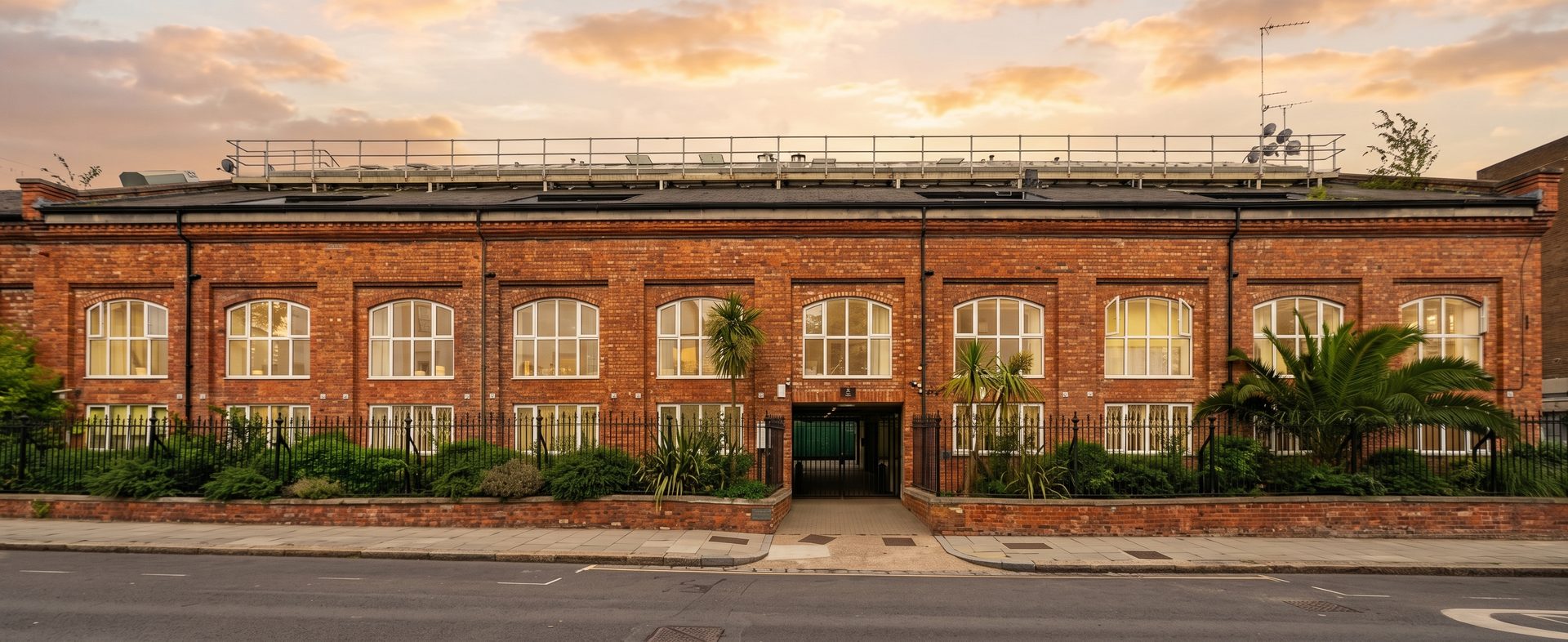
Illustrative golden-hour view of a single-storey London mews-style business centre on a leafy avenue

Illustrative view

— Quotation QU-3444

The Vineyards36 Gloucester Avenue, Primrose Hill, London, NW1 7BB

Issued
17 August 2026
Valid until
16 September 2026
Client
Stirling Ackroyd
Contact
Maisie Anderson · Team Assistant, Commercial, Investment & Development

Stirling Ackroyd has asked Sterling Temple to quote for a measured survey of 36 Gloucester Avenue, whose ground floor is split into two units. This page sets out precisely what we will measure, what you will receive, the fee and the programme.

On completion you will hold, for each unit, an illustrated floor plan and a schedule of areas reported on NIA and GIA bases in accordance with RICS guidelines, issued as PDF, with DWG CAD files of both units for onward design and marketing use.

Address
The Vineyards, 36 Gloucester Avenue, Primrose Hill, London, NW1 7BB
Use
Business centre / offices (Class E)
Approx. combined area
c. 185–325 m², to be confirmed on survey
Floors
Single storey
Extent
Ground floor, split into two units — both included
Setting
Primrose Hill, beside the West Coast Main Line; nearest stations Chalk Farm and Camden Town

01

Measured survey of both units

SLAM laser scan of each unit on a single visit, working around occupiers of the operating business centre.

  • Both ground floor units captured on one mobilisation
  • Handheld SLAM capture of all accessible areas
  • Working around occupiers during normal working hours

02

Floor plans

Illustrated floor plans of each unit at survey accuracy, issued as PDF.

  • One illustrated plan per unit
  • Concealed or inaccessible areas noted on the plans

03

Schedule of areas

Areas reported on NIA and GIA bases in accordance with RICS guidelines, stated in m².

  • NIA and GIA per unit
  • Areas stated in m²
  • Prepared in accordance with RICS guidelines

04

CAD release

DWG files of both units for architects and agents.

  • AutoCAD-compatible DWG files
  • Released alongside the PDF deliverables

PDF

Floor plans and schedule of areas per unit

DWG

AutoCAD-compatible CAD files of both units

Working days from instruction, subject to access.

  1. Stage 01

    Within 5 working days

    Site visit

    Of instruction — single mobilisation, both units

  2. Stage 02

    2–3 working days

    Report and floor plans

    After the site visit

  3. Stage 03

    Same issue

    DWG

    Released alongside the PDF deliverables

Sterling Temple surveys using a GeoSLAM Zeb Revo RT handheld SLAM scanner, capturing a fully registered point cloud of every accessible area in a single mobilisation. The point cloud is processed and cleaned in PointCab, then drawn up in BricsCAD and AutoCAD to produce coordinated 2D deliverables. All areas are calculated from the measured drawings and stated in square metres, in accordance with RICS guidelines.

  • Capture — GeoSLAM Zeb Revo RT
  • Processing — PointCab
  • CAD — BricsCAD / AutoCAD
  • Areas — RICS guidelines · m²
Illustrative view of handheld SLAM laser scanning equipment on a tripod

Accept this quotation

Confirm the instruction with a short form. We will acknowledge within one working day and issue our instruction confirmation with proposed survey dates.

Ask a question →